
Tracing a Brawley Street Address
A street directory search should begin with the physical site, not with an assumption about who lives there. Normalize the address, check whether it sits inside the Brawley boundary, and use the parcel map to identify the APN. The APN then joins the assessor roll to the recorder’s legal description, while permits and code files add dated activity. A directory or census may add occupants for a past year. Each step answers a narrower question.
Use the following order for a current address. Keep the original spelling, street suffix, unit information, and search date in your notes. If the address is rural or carries a Brawley mailing city, confirm the government jurisdiction before sending a request.
- Check the address in the Brawley Planning GeoViewer and note the parcel polygon, APN, city boundary, and zoning context.
- Run the address or APN through Imperial County ParcelQuest Lite; save the situs, public owner presentation, mailing field, values, and roll year.
- Carry the APN or legal description into RecorderWorks, starting with the current acquisition instrument and its grantor and grantee.
- Ask Brawley Building Division or Code Enforcement about address-keyed permits, inspections, notices, and compliance dates when a property history needs more time markers.
- For past households, ask the library or museum about reverse directories, newspapers, yearbooks, and census access, then compare the exact address and year.
That five-part path is the working core of the Brawley street directory. It produces a documented address trail without turning one field into a conclusion about every person connected to the site.
ParcelQuest Lite Fields for Brawley Addresses
ParcelQuest Lite is the Imperial County Assessor’s public property-search route. Its search is parcel and address oriented. The research did not verify a public owner-name query, so a name alone is not the right starting key. Use the physical street address or the parcel number printed on a tax bill, map, or related county record.
The public product provides basic property characteristics, a printable or downloadable parcel plat map, and links to purchasable recorded-document copies or reports. The documented monthly limits are 50 parcel-detail searches and 25 parcel maps. A county disclaimer, ParcelQuest terms, and a CAPTCHA may control access. Read the ParcelQuest Lite access terms before relying on a displayed field.
| Search field | Type | Use in a Brawley street directory |
|---|---|---|
| APN / parcel number | Text | Best bridge from a county map or tax bill to the parcel card. |
| Property address | Text | Try normalized number, street name, directional, and suffix forms. |
| Owner | Portal dependent | Do not assume the public Lite product accepts an owner-name query. |
| Search / reset | Buttons | Submit one narrow address search, then clear before testing a variant. |
The ParcelQuest Lite entry point shows the address and APN route for an Imperial County parcel.
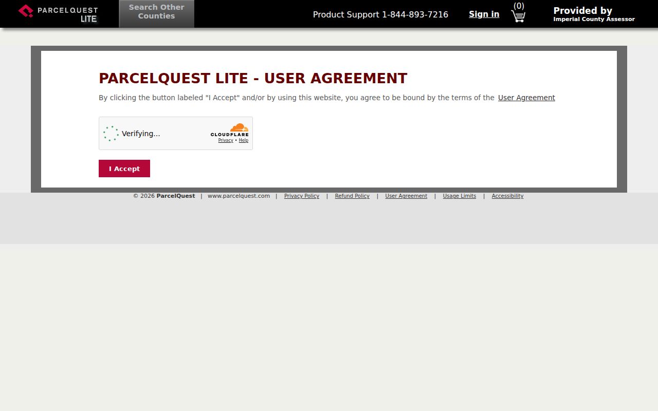
The screen is a starting point, not a title report. Keep the parcel card and the map together, especially where a Brawley postal address crosses the city line.
The ParcelQuest Lite disclaimer records the public product’s terms and limits.
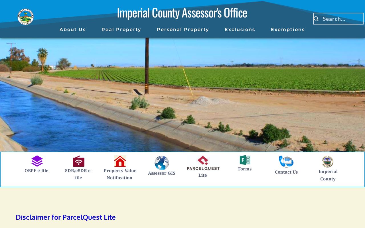
Brawley GeoViewer and Adjacent Parcels
The City of Brawley Planning GeoViewer is a free browser map for parcel and land-use geography. Search or zoom to the street, click the target polygon, record its APN and attributes, then move along the street by selecting adjacent polygons. Layer controls can provide parcel, zoning, general-plan, or jurisdiction context when available. The static page did not expose every dynamic layer label or export feature, so describe the map by what it visibly returns.
The Imperial County GIS resources matter when the address is outside the city. A parcel outside the municipal boundary may still carry a Brawley mailing city. The December 2020 zoning map marks land outside the boundary as county-controlled, even where city prezoning is shown for possible future annexation.
The Imperial County parcel kiosk instructions provide another county access path when a browser search is difficult.
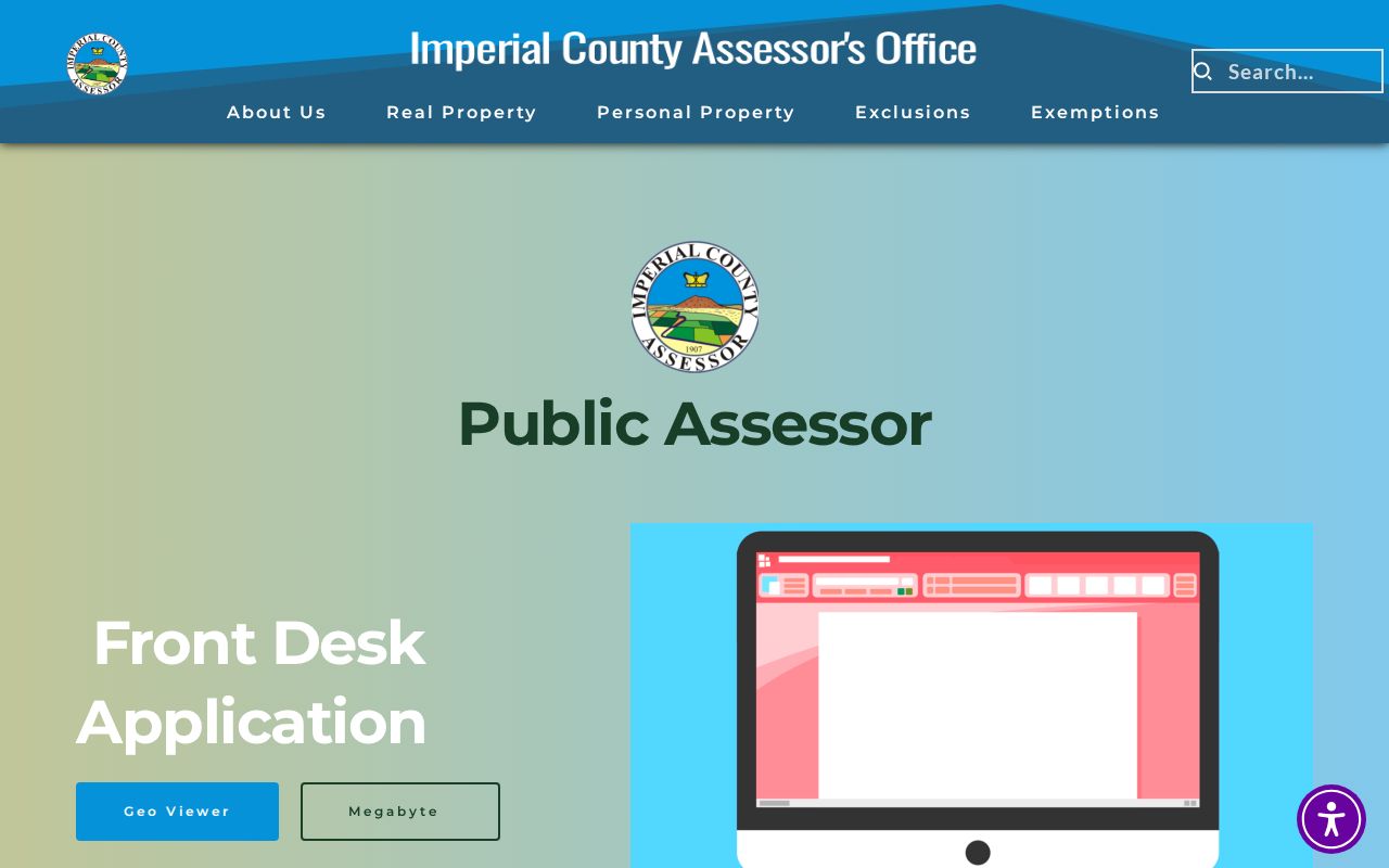
A map can show a parcel relationship. It cannot turn a polygon into a household list.
Note: The official GeoViewer page does not expose every dynamic layer name, so map capabilities should be confirmed during use.
Brawley Records Searchable by Street
Address-keyed records in Brawley form a chain, but they do not carry the same meaning. The assessor connects a situs to tax-roll data. GIS shows geometry and jurisdiction. The recorder connects identified parties to instruments. California permits and code files attach dated activity to a site. The voter system is identity-gated and is not a street browse. A local reverse directory, if a particular run can be confirmed, may identify a past occupant.
| Record set | Keeper | What it can show | Access |
|---|---|---|---|
| Assessment roll | Imperial County Assessor | APN, situs, owner presentation, mailing, values | ParcelQuest Lite or counter |
| Parcel geometry | Brawley or Imperial GIS | Adjacent lots, zoning, boundary, jurisdiction | Free map viewer |
| Deeds and liens | County Clerk-Recorder | Title parties, dates, instruments, legal descriptions | RecorderWorks or counter |
| Permits | Brawley Building Division | Site, applicant, contractor, work and inspection dates | Department or request |
| Code cases | Brawley Code Enforcement | Complaints, notices, inspections, compliance events | Request; exemptions may apply |
| Historical directories | Library or museum | Past address-to-occupant clues | Holdings must be confirmed |
Use the APN to hold the chain steady when a street label varies. Use the legal description when a parcel was split or renamed. Use the exact date when comparing a permit, assessment, deed, or historical entry. A street directory is strongest when the reader can see which record produced each name.
Note: The voter system is an identity-gated personal service, not a public Brawley street browse.
Situs and Mailing on a Brawley Parcel
Situs means the physical location of the land. Mailing means where the assessor sends tax correspondence. A mailing address can belong to an out-of-area owner, a trust, a business office, or a recently changed contact. It can help locate a responsible party, but it cannot prove that the named person sleeps at the situs or at the mailing address.
The assessor’s change-of-mailing-address route is the official correction channel. For a Brawley street directory, capture both fields and label them. Do not collapse them into a single “home address” column. The distinction is especially important for rural delivery points and agricultural parcels around the city.
The Imperial County mailing-address page explains the county route for changing tax-roll correspondence.
When the two addresses differ, check the parcel map, deed, and time stamp before interpreting the mismatch. It may reflect a trust, a recent sale, a business address, or a corrected tax-roll destination.
Deed Chains Along a Brawley Street
RecorderWorks covers recorded property documents from 1986 forward. Search a current owner or party, open the acquisition instrument, and identify the earlier grantor. Then search that grantor as an earlier grantee and confirm the same lot, block, subdivision, metes-and-bounds description, or APN. Repeat until the online index stops. A deed chain tracks title transfers, not every person who occupied the property.
Pre-1986 research moves to grantor-grantee books and deed books at the Clerk-Recorder counter. The official copy request form needs a document number or book and page. The research lists plain copies at $2 for the first page plus $1 for each additional page, certified copies at $2.50 for the first page plus $1 for each additional page, and map copies at $2 for the first page plus $1 for each additional page. Confirm the current schedule before mailing to 940 West Main Street, Suite 202, El Centro.
- Grantor
- The party transferring an interest in the instrument.
- Grantee
- The party receiving the interest named in the instrument.
- Legal description
- The lot, block, subdivision, or metes-and-bounds language that identifies the land.
- Chain of title
- A linked sequence of recorded transfers for the same parcel.
Note: RecorderWorks covers 1986 forward; older Brawley deed research moves to grantor-grantee books and counter service.
Brawley Permits Tie Names to Sites
Development Services is the first city source for a Brawley address-keyed permit trail. A permit may name the owner, applicant, contractor, site, parcel, project scope, issue date, and inspection dates. Those fields can place a person or business at a site during a defined project window. They do not establish who occupied the building, and a permit may remain in a file long after the work ends.
The Building Division page is the proper route for current contact and request instructions. Ask for the site address, APN, project type, and date range. If the city cannot release a record because an active investigation or protected field applies, narrow the request or ask which existing record series is available.
The Brawley Building Division page identifies the municipal custodian for permit and inspection questions.
Match the permit to the parcel map and legal description before treating the applicant as a meaningful name lead.
Code Files and Police Requests in Brawley
Code Enforcement can add complaints, notices, inspections, and compliance dates to a street record. Disclosure depends on whether a matter is active and whether private information can be separated. Police reports have additional exemptions for investigations, victims, juveniles, medical details, and personal identifiers. A request should include the incident number, address, date and time, and involved party when known.
The Brawley Code Enforcement contact and the Police self-service request page are distinct channels. They can help explain a site history, but neither is a general Brawley street directory.
The Brawley Code Enforcement page shows the address-based municipal route.
Use these records to date a property event, not to label every person near it.
The Brawley Reverse Directory Gap
A reverse or criss-cross directory would let a researcher start with a street and number, then read an occupant or telephone entry. The research did not verify a local Brawley run, year, publisher, or abbreviation key. The honest next step is a title-by-title check with Brawley Public Library or the Pioneers’ Museum. Do not import a convention from another publisher.
When a volume is found, photograph or transcribe its key first. Record the exact street spelling, house number, occupant mark, and edition year. For a full historical shelf and household-tracing method, use the Brawley city directory collections page.
Postal Brawley Versus City Limits
ZIP 92227 is the verified standard ZIP serving Brawley and a surrounding postal-delivery area. A Brawley mailing city is not proof that a parcel lies inside the incorporated boundary. Use USPS to validate the mailing form, then use the Brawley or Imperial County GIS boundary to select the government custodian.
For an address outside the city, county planning and county GIS may control permits, zoning, or parcel questions. For an address inside the city, Brawley Planning and Building may hold the municipal file. The ZIP Code Directory explains the postal and governmental split in more detail.
Maps When a Brawley Address Changes
Street names and numbers can fail as historical search keys even when the land is the same. The research did not verify a dated citywide Brawley renumbering event. Use the 1919 official cadastral map corrected in 1927, subdivision maps, assessor map books, council records, Sanborn catalog entries, and legal descriptions to test continuity. A current street string should never be forced onto a 1920s record without a map check.
The parcel is the stable bridge. Pair the old address with lot, block, tract, or neighboring street references, then compare the modern APN and boundary. This approach keeps the Brawley street directory useful when the label changes.
Note: No authoritative source in the research confirms a dated Brawley-wide renumbering event.
What a Brawley Street Directory Cannot Show
No public parcel field lists every household member. An owner is not automatically an occupant, and a deed party is not automatically a current resident. DMV residence data and utility customer data are restricted. My Voter Status is a personal identity check, not a public street browse. A historical directory can be incomplete, and a permit can identify a project participant rather than a household.
Lawful use. Brawley street and address records support lawful personal research, family history, and civic curiosity. Do not use them to stalk, harass, intimidate, or harm anyone.
When the goal shifts from a whole street to one person, the Brawley resident lookup workflow is the better fit. It emphasizes time, identity, and independent confirmation instead of a broad address sweep.
Note: An owner, deed party, permit applicant, and occupant answer different questions and should never be merged without independent evidence.